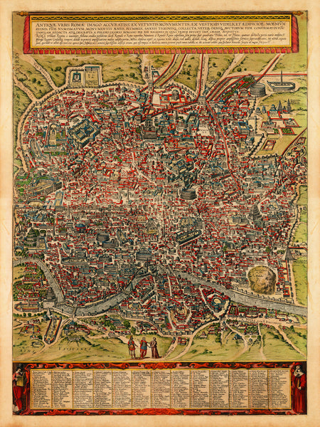
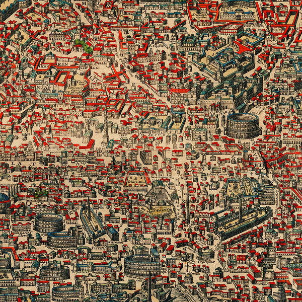
A highly detailed bird's-eye view/plan of the Ancient City of Rome, Antiquae Urbis Romae, with a key to 269 locations, including monuments, viaducts and landmarks, such as the Coliseum, Circus Maximus, Tiber River, Tiber Island, Campus Martius, Palatine Hill, Mons Vaticanus (Vatican Hill), Circus of Nero (Circus of Caligula), etc., etc. Using the original plates of Braun & Hogenberg’s two-sheet map first published by Braun in 1580, which used Logorio’s 1561 Antiquae Urbis Imago, Johannes Janssonius released this particular edition in 1657.
• Antique Map of Ancient Rome, Antiquae Urbis Romae, Braun & Hogenberg (1580), Janssonius (1657)
• Fine Art Premium Giclée (Gouttelette) Print (100% cotton 340 gsm fine art paper)
• Made in USA


