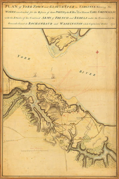
Large-size antique map of Yorktown in 1781, during the American War of Independence. It depicts General Cornwallis’ plan of defensive fortifications for the towns of Yorktown and Gloucester in Virginia. The British Army was preparing for a battle with the combined French-American army led by General de Rochambeau and General Washington. The real battle ensued between the British Navy coming to provide support to Cornwallis and the French Navy. The British Navy lost and withdrew back to New York. General Cornwallis eventually surrendered in October of 1781.
• Revolutionary War map showing the defensive fortifications of General Cornwallis at Yorktown, Virginia, 1781
• Fine Art Premium Giclée (Gouttelette) Print (100% cotton 340 gsm fine art paper)
• Made in USA


