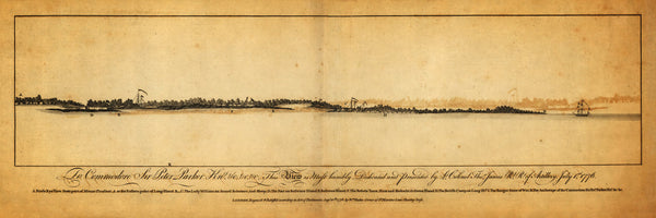
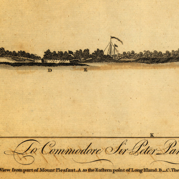
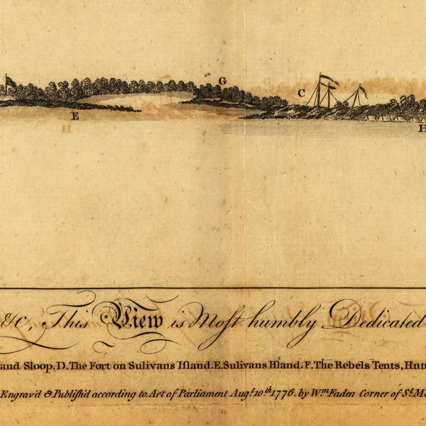
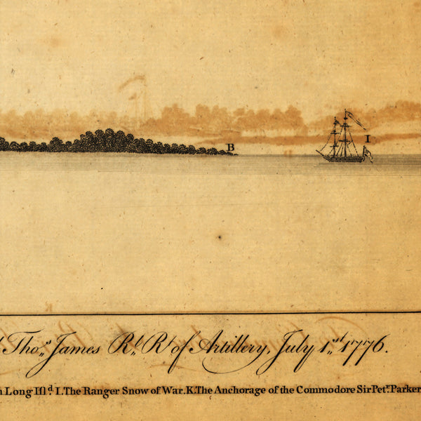
A 1776 Revolutionary Era view of Charleston Harbor, presented and dedicated to Commodore Sir Peter Parker on July 1, 1776 — two days after the Battle of Sullivan’s Island. Shortly after the battle, the map was engraved and printed by William Faden in London. The profile map/view includes a detailed index with annotations of locations and positions. “K” marks the vantage point of the Commodore’s vessel: “The Anchorage of the Commodore Sir Pet(e)r Parker”. Parker was later promoted to Admiral, and eventually to Admiral of the Fleet — the highest rank in the Royal Navy of the United Kingdom. Full title reads: To Commodore Sir Peter Parker Knt, &c, &c, &c, This View is Most humbly Dedicated and Presented by Lt. Colonel Thos. James Rl. Rt of Artillery, July 1st, 1776 / A Birds Eye View from part of Mount Pleasant (A) to the Eastern point of Long Island (B–C) The Lady William an Armed Schooner, and Sloop (D) The Fort on Sulivans Island (E) Sulivans Island (F) The Rebels Tents, Huts and Redoubt (G) Green Island (H) The British Camp on Long Isld. (L) The Ranger Snow of War (K) The Anchorage of the Commodore Sir Petr. Parker Knt. &c &c. / London. Engraved & Published according to Act of Parliament Aug. 10th 1776 by Wm. Faden Corner of St. Martins Lane Charing Cross.
• Title: A Bird’s Eye View from part of Mount Pleasant… to the Eastern point of Long Island…
• Fine Art Premium Giclée (Gouttelette) Print (100% cotton 340 gsm fine art paper)
• Made in USA


