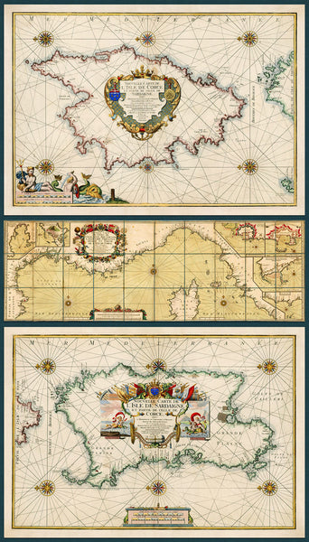
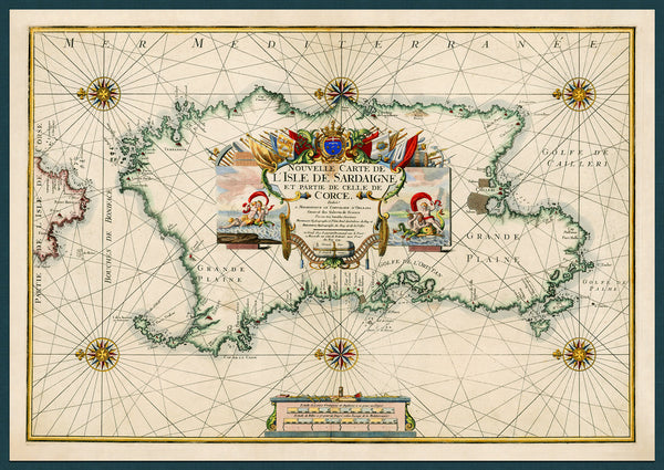
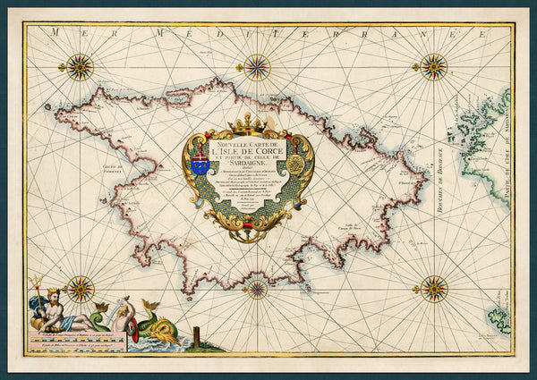
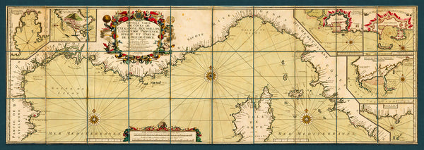
An early 18th-century set of maps of Corsica and Sardinia, with a bonus chart of the Western Mediterranean. All three maps were created and produced in 1718-1719 by Henry Michelot and Laurent Bremond, and engraved by Peter Starckmann. Both the Corsica and the Sardinia maps contain a great amount of detail. They were both issued in 1719. The bonus map is a 1718 chart of the northwestern coast of the Mediterranean, from Catalonia, Roussillon, Languedoc and Provence, to Liguria, Tuscany and Lazio, with insets of major ports. It also shows Corsica and numerous other smaller islands in the region. (These are three separate prints, sold as a set. The Corsica and Sardinia maps are also available as separate items in our collection.)
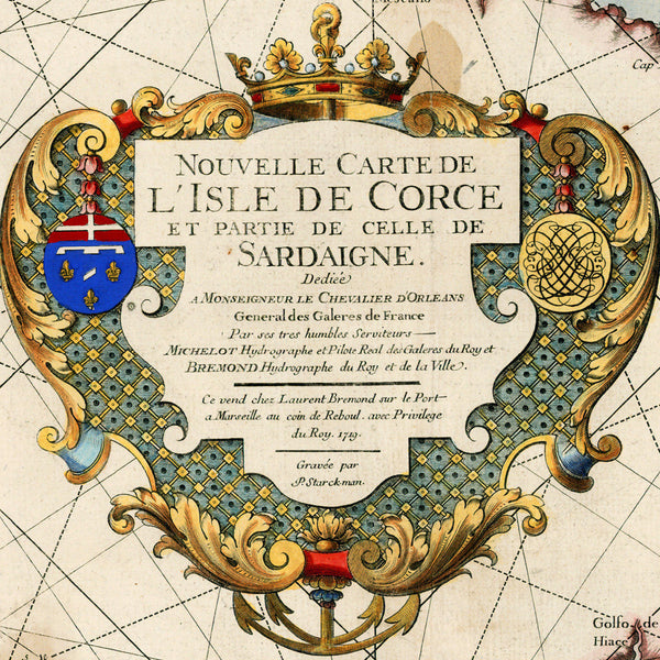
• Map 1: Corsica, 1719, Michelot & Bremond map (size: 24 in x 17 in / 61 x 43 cm) Title: Nouvelle Carte de L’Isle de Corce et Partie de Celle de Sardaigne
• Map 2: Sardinia, 1719, Michelot & Bremond map (size: 24 in x 17 in / 61 x 43 cm) Title: Nouvelle Carte de L'Isle de Sardaigne et Partie de Celle de Corce
• Map 3 (bonus): Mediterranean, 1718, Michelot & Bremond chart (size: 24 in x 8.5 in / 61 x 21.5 cm)Title: Nouvelle Carte de Cotes de Catalogne, Rousiilon, Languedoc, Provence, d’Italie et Partie de L’Isle de Corce
• All 3: Fine Art Premium Giclée (Gouttelette) Print (100% cotton fine art paper)
• Made in USA

