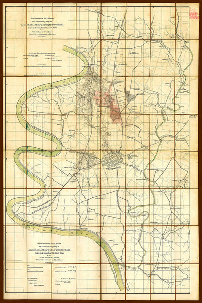
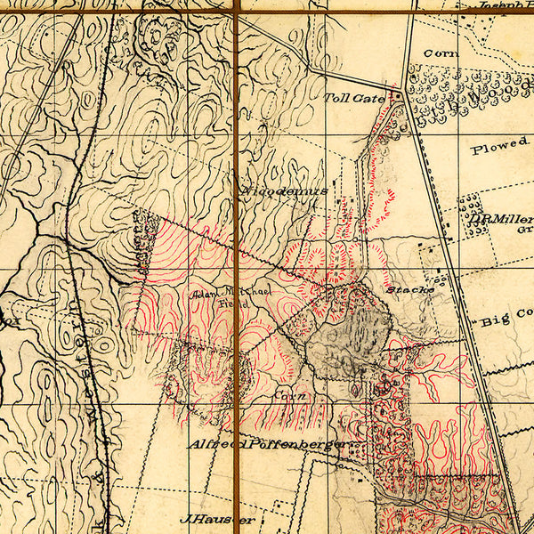
This large and detailed map of the terrain around the city of Sharpsburg, Maryland, was created by Jedediah Hotchkiss for the Antietam Battlefield Commission in 1894. The map shows the buildings, roads, hydrography, fence lines and the names of land owners. Troop positions and movements are not depicted on this map. This is why the map is perfect for studying the Battle of Antietam and especially how the road network and hydrography of the area affected the movement of the armies.
• Map of the Antietam Battlefield at Sharpsburg, Md., hand drawn by Jedediah Hotchkiss in 1894
• Fine Art Premium Giclée (Gouttelette) Print (100% cotton 340 gsm fine art paper)
• Made in USA


