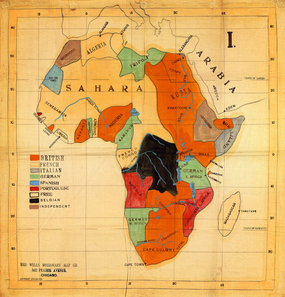
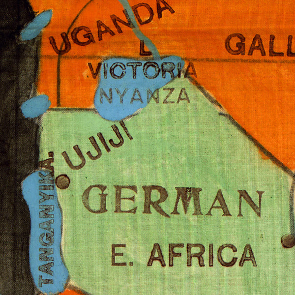
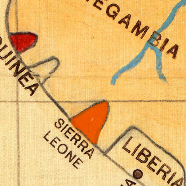
Early 20th-century highly stylized political map of Africa, showing the colonial claims of the European powers on the continent prior to World War I. Originally printed and hand drawn on cloth ca. 1908 for American missionaries, the bold colors and unique manuscript treatment of the map make for a graphically cheerful, yet dramatic piece of recorded history.
• Early 20th century (1900s) colonial cloth map of Africa, pre–WWI, (WWI Era)
• Fine Art Premium Giclée Print (Canvas Print available upon request)
• Made in USA
Customer Reviews
No reviews yet
Write a review


