Bordeaux — the Wine Capital of the World
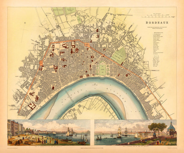
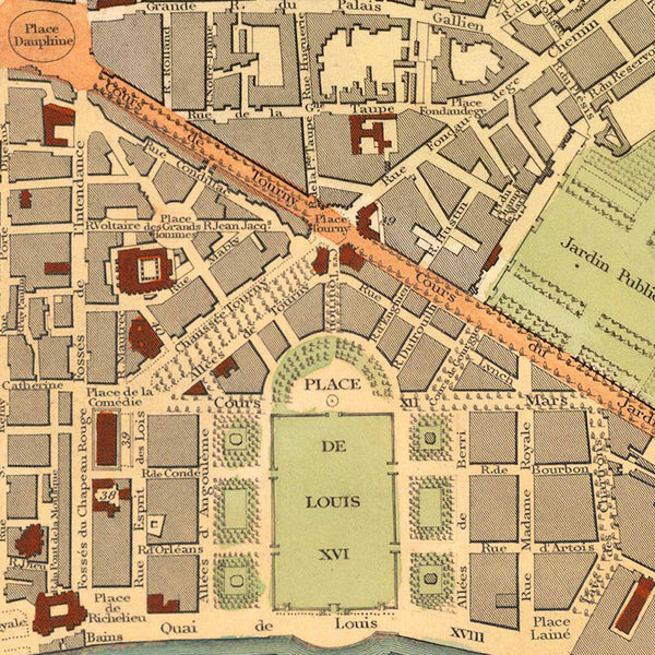
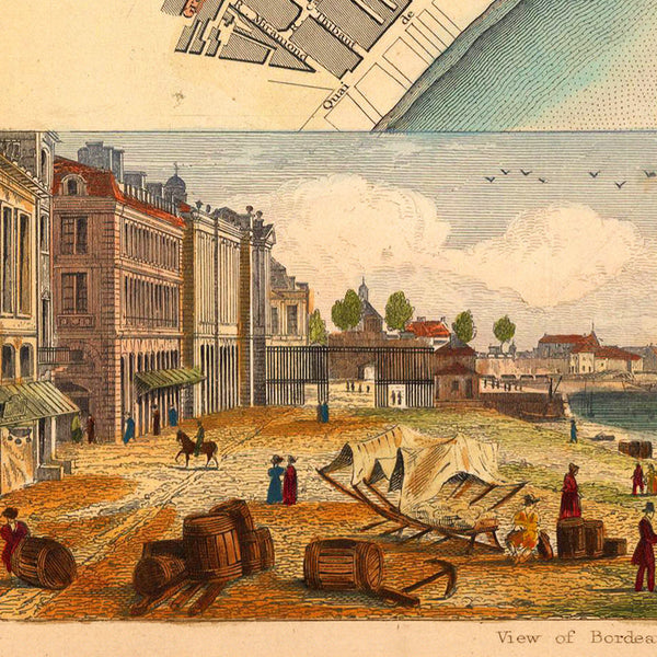
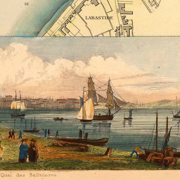
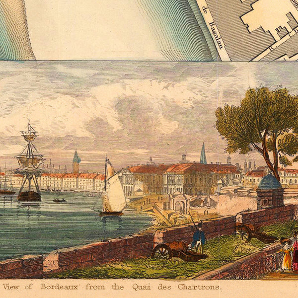
An attractive and detailed nineteenth-century map of Bordeaux, with inset views of the city. This highly accurate city plan was originally published in 1832 by the Society for the Diffusion of Useful Knowledge (SDUK), as a finely hand-colored, steel plate engraving. The two inset views at the bottom of the layout are entitled: ‘View of Brodeaux from the Quai des Salinieres’ and ‘View of Bordeaux from the Quai des Chartrons’. The map pairs well with some of the other SDUK maps in our collection — Liverpool, Munich, Naples, Venice.
• Beautiful & detailed city plan of Bordeaux, France, with inset views, 1832, SDUK (S.D.U.K.)
• Fine Art Premium Giclée (Gouttelette) Print (100% cotton 340 gsm fine art paper)
• Made in USA

