South Carolina, 1776, Charleston, Siege, Battle of Fort Sullivan, Revolutionary War Map
Brand: Battlemaps.us
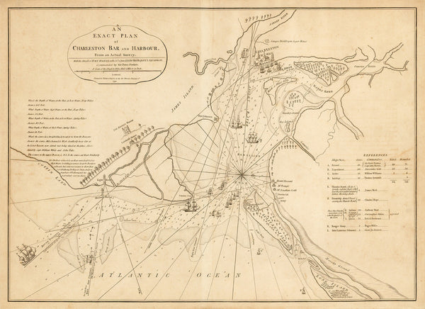
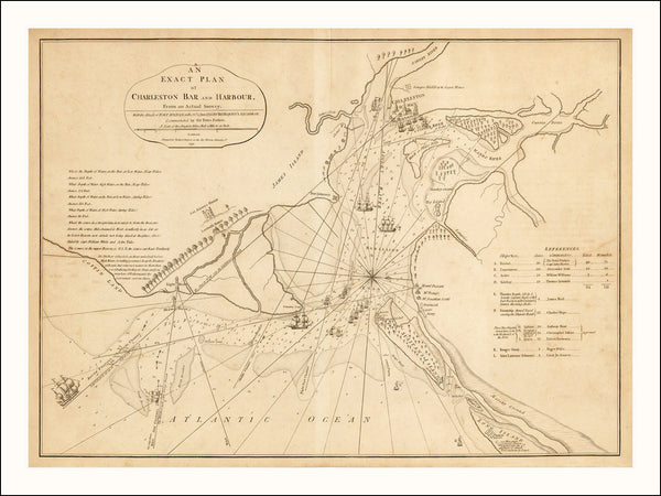
A Revolutionary War era map of Charleston, South Carolina, with Charleston Harbor and Charleston Bar. The map is a detailed battle plan of the British siege of the city and the Battle of Sullivan’s Island in June of 1776. The British forces were led by General Sir Henry Clinton and Commodore (later Admiral) Sir Peter Parker. A numerically inferior Colonial force with poorly constructed defences on Sullivan’s Island achieved victory over the British. The Americans, under the command of William Moultrie, successfully repelled the British attack and inflicted significant losses and damages on their fleet. Charleston would be secure for another four years.
Map title: “An Exact Plan of Charleston Bar and Harbour. From An Actual Survey. With the Attack of Fort Sulivan, on the 28th of June 1776. By His Majesty’s Squadron, Commanded by Sir Peter Parker… London. Printed for Robert Sayer as the Act Directs January 1st 1791”.
• Map of the Siege of Charleston and Battle of Fort Sullivan in South Carolina in 1776
• Fine Art Premium Giclée (Gouttelette) Print (100% cotton 340 gsm fine art paper)
• Size print: 24” x 18” / 61 x 46 cm (easy to frame)• Size image: 22” x 16” / 56 x 41 cm
• Made in USA


