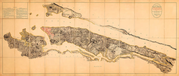
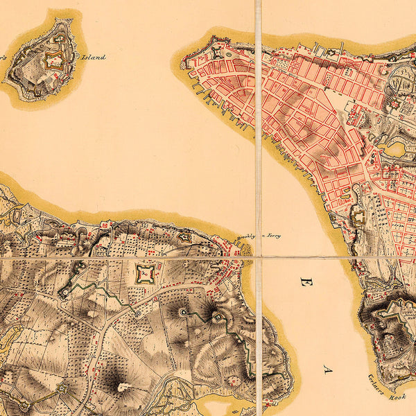
Unpublished British Head Quarters Coloured Manuscript map of New York and Environs from 1782, reproduced from the Original Drawing in the War Office in London in 1900 as a very limited edition facsimile. The manuscript was used and updated by all successive British Commanders in Chief in America: Generals Sir William Howe, Sir Henry Clinton, and Sir Guy Carleton, during their respective occupations of New York in the Revolution. The plan shows fortifications, defenses, roads, streets, topography of the island of New York, the Harbor Islands, water ways, military works on Long Island, including Brooklyn, Paulus Hook, and Jersey Shore.
• 1782 Revolutionary War British Army HQ Manuscript Plan of New York
• Fine Art Premium Giclée (Gouttelette) Print (100% cotton 340 gsm fine art paper)
• Made in USA


