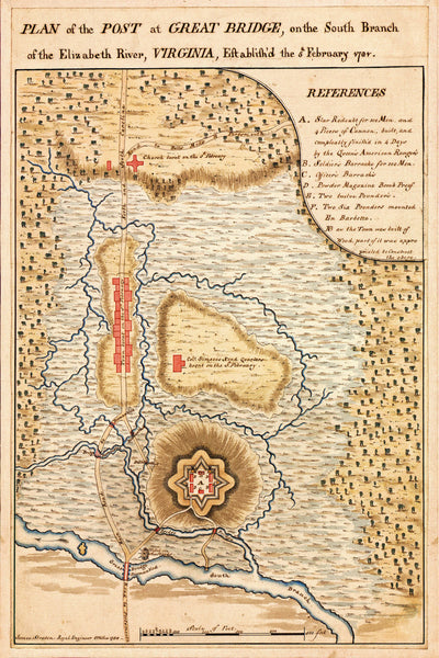
An American Revolutionary War map, depicting the plan of the British post at Great Bridge, Chesapeake, on the Elizabeth River, Virginia, on February 5th, 1781. The map was hand drawn in pen-and-ink and watercolor by James Straton (Straton, not Stratton) of the Royal Engineers. The plan is carefully reproduced on 100% cotton fine art watercolor paper.
• Revolutionary War plan of the Great Bridge, Chesapeake area in Virginia, 1781
• Fine Art Premium Giclée (Gouttelette) Print (100% cotton 340 gsm fine art paper)
• Made in USA


