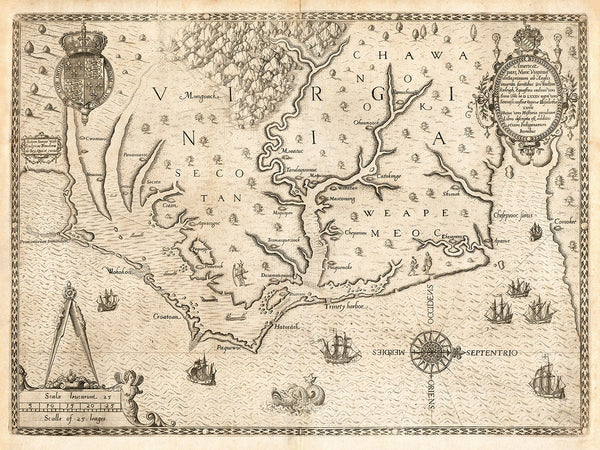
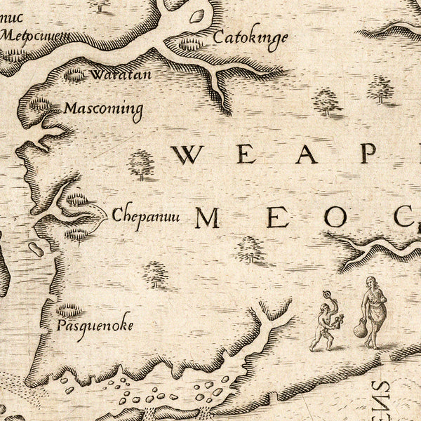
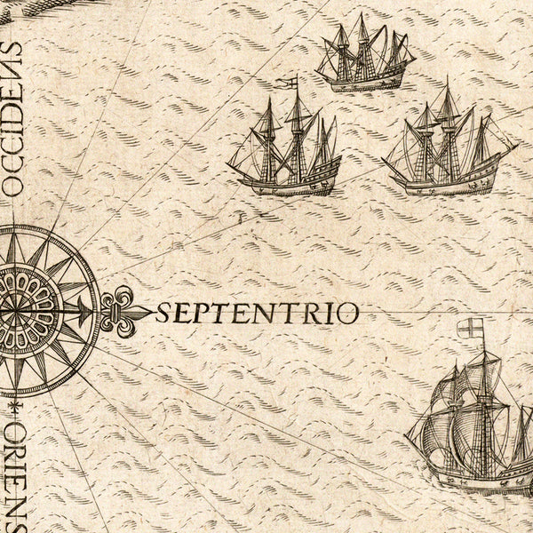
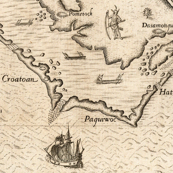
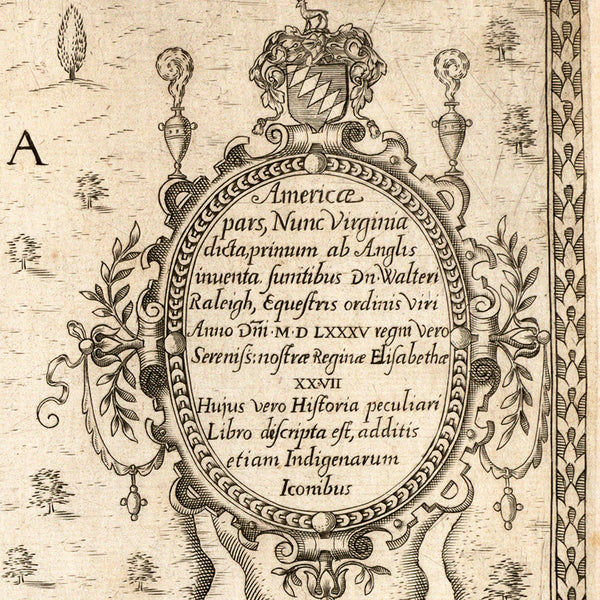
A map of the newly named English Colony of Virginia in 1585, engraved and printed by Theodor (Dirk) de Bry in 1590, after John White’s 1585 firsthand manuscript map La Virginea Pars. The map covers in great detail parts of the coastline of present-day North Carolina and Virginia. White’s map was oriented with North up, while de Bry changed the orientation so West is at the top, which was preferred in early maps, as the direction showing what the American coast looked like to European ships approaching from the East. Although sometimes referred to by its alternative English title: The Carte of All the Coast of Virginia, the map is better known as, Americae pars, Nunc Virginia dicta... (That part of America, now called Virginia…). The map’s full title in Latin reads: Americae [Americæ] pars, Nunc Virginia dicta primum ab Anglis inuenta Sumtibus Dominus Walteri Raleigh Equestris ordinis Viri Anno Domini MDLXXXV regni Vero Serenissima nostrae Reginae Elisabethae XXVII Hujus vero Historia peculiari Libro discripta est, additis etiam Indigenarum Iconibus.
• Antique map of the Virginia Colony in 1585, Theodor de Bry, after John White (uncolored)
• Title: Americae pars, Nunc Virginia dicta... (That part of America, now called Virginia…)
• Fine Art Premium Giclée (Gouttelette) Print (100% cotton 340 gsm fine art paper)
• Made in USA

