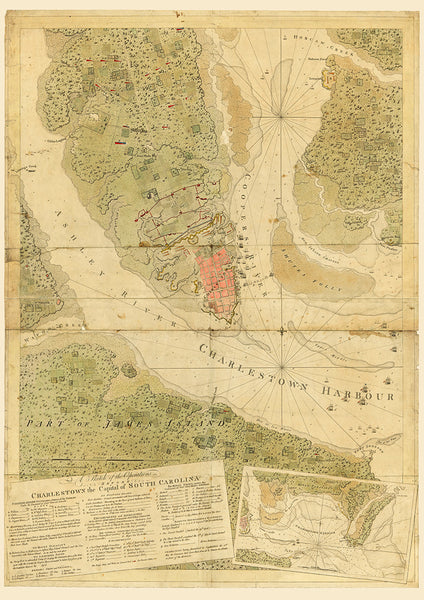
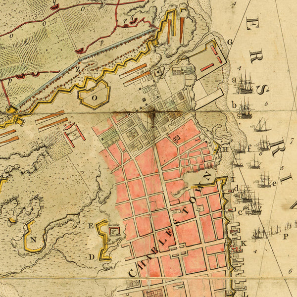
A highly detailed 1780 map of Charleston, South Carolina, with its harbor and surrounding areas. The map contains positions of troops, vessels, and fortifications during the siege and an extensive key to all the operations, as well as a secondary view-chart of the harbor. Title: A Sketch of the Operations Before Charlestown the Capital of South Carolina…, Joseph F. W. Des Barres, 1780.
• Revolutionary War map of Charleston (Charlestown), South Carolina, with positions of troops and events
• Fine Art Premium Giclée (Gouttelette) Print (100% cotton 340 gsm fine art paper)
• Made in USA


