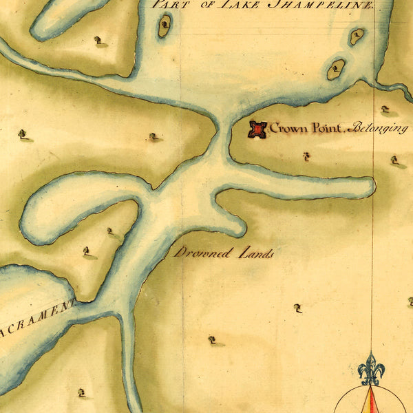
New York, 1750, Mohawk Valley, Lake Ontario, Lake Champlain, Manuscript Map
Brand: Battlemaps.us
Manuscript Map of the Mohawk Valley
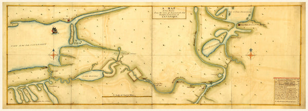
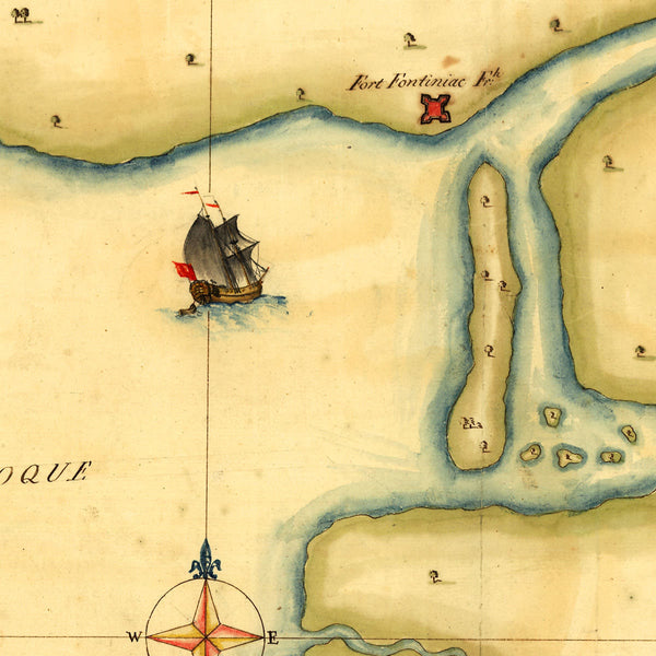
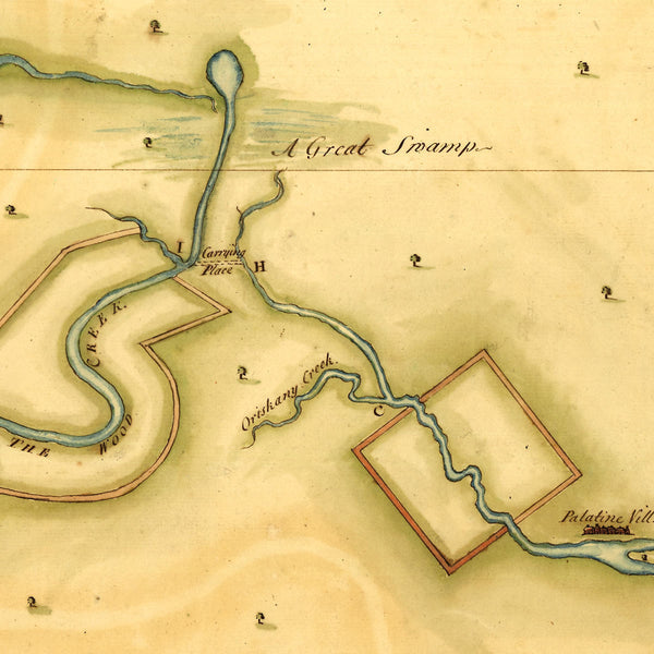
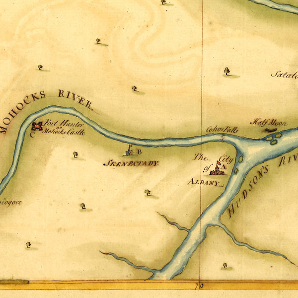
A mid-eighteenth-century manuscript map of present-day Upstate New York, centered on the Mohawk Valley. The map covers areas from the eastern shores of Lake Ontario (Lake Cataroque), with Fort Frontenac (Fort Fontiniac), Saint Lawrence River, Fort Oswego (Fort Osswego), the Finger Lakes (The Contrey of the Five Nations), and Oneida Lake (Lake Oneidos) to the west; through Mohawk River (Mohocks River) valley, Schenectady (Skenectady) and Albany; to Hudson River (Hudson’s River) valley, Lake George (Lake St Sacrament*), Crown Point, and Lake Champlain (Lake Shampeline) to the east. The map, containing an index of distances shown in English miles, was beautifully drawn by hand in watercolor, pen and ink.
{*Lac du Saint-Sacrement was the French Canadian name of Lake George from 1646 until 1756. The lake was named by Father (later St.) Isaac Jogues, a French Jesuit missionary who visited the area in 1646. The original Native American name was Andiatarocte (Andiata-roc-té), which meant “Place Where the Lake Shrinks” in the Mohawk Iroquoian language.}
Title: A Map of the Route from the City of Albany to the Fort Osswego on the Lake of Cataroque
• Province of New York, Albany, Lake Ontario, Mohawk Valley, Lake Champlain, ca. 1750s, French & Indian War
• Fine Art Premium Giclée (Gouttelette) Print (100% cotton 340 gsm watercolor textured fine art paper)
• Made in USA

