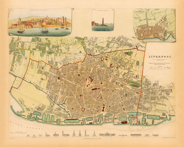
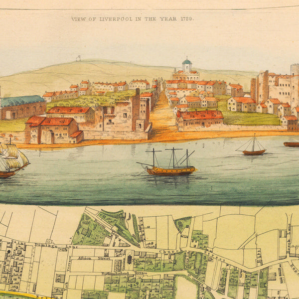
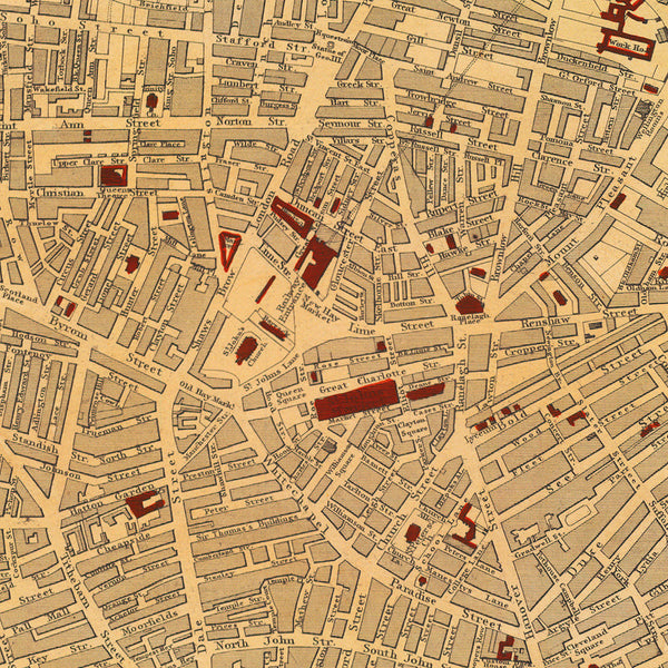
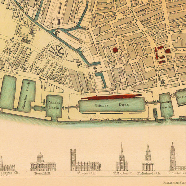
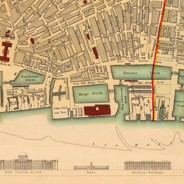
A beautiful, detailed 19th-century city plan of Liverpool, with inset views from the Harbour, of the Black Rock Lighthouse, and a plan of the city in 1729. The map was originally published by the Society for the Diffusion of Useful Knowledge (SDUK) in 1836 as a finely hand-colored, steel-plate engraving. Only a handful of the SDUK editions were hand-colored in full — in outline and wash. The map shows the city from Toxteth and Dr. Hughes’ Stone Quarries to Kirkdale and Vauxhall, and from the Necropolis and Edge Hill to the Docks. The interconnected dock system of the Port of Liverpool in the nineteenth century was the most advanced port system in the world. Nearly 40% of the world’s trade passed through Liverpool. The bottom of the map’s layout contains a series of outline illustrations of iconic landmarks: Cemetery Church, Chapel of the School for the Blind, Lyceum, St George’s Church Everton, Town Hall, St Luke’s Church, St Martin’s Church, St Michael’s Church, St Nicholas Church, St George’s Church, New Custom House, Baths, Exchange Buildings, Wellington Rooms, and Infirmary. The Liverpool map pairs well with some other SDUK city plans in our collection — Bordeaux, Munich, Naples, and Venice.
• Beautiful & detailed city plan of Liverpool, England, with views, 1836, SDUK (S.D.U.K.)
• Fine Art Premium Giclée (Gouttelette) Print (100% cotton 340 gsm fine art paper)
• Made in USA

