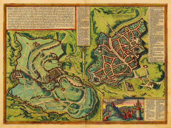
A map of Jerusalem, in the Holy Land, first printed in 1582 in Georg Braun and Franz Hogenberg’s grand atlas Civitates Orbis Terrarum, and depicting both New and Old Jerusalem in Biblical times.
• Antique map of Old and New Jerusalem, 1582, Braun & Hogenberg
• Fine Art Premium Giclée Print
• Made in USA


