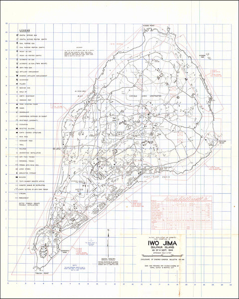
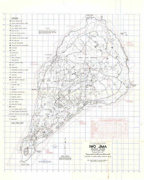
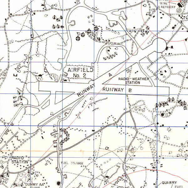
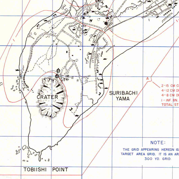
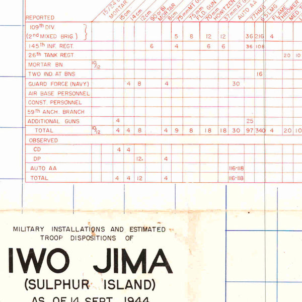
February 1945 would find over 20,000 Japanese soldiers and sailors dug into the volcanic rock of Iwo Jima, facing 70,000 U.S. Marines on 450 warships. The Battle for Iwo Jima would last 36 days and become the most costly battle in U.S. Marine Corps history with 26,000 causalities. Intelligence Section for the Commander of the Pacific Ocean Areas (CINCPOA) created the map for planning the invasion. It displays order of battle information, and locations of the Imperial Japanese Army and Naval forces on the island as of September 14, 1944. USN and USAAF photographic squadrons collected the intelligence through aerial reconnaissance. By the time the island was declared secure on 26th of March, thirty six B-29s would make emergency landings on the island, providing visible proof to the marines that the fight was worth the blood.
Twenty four Medals of Honor were earned on the sands of Iwo Jima. Admiral Chester W. Nimitz, Commander, Pacific Fleet and Commander in Chief, Pacific Ocean Areas, would later say: “Among the Americans who served on Iwo Island, uncommon valor was a common virtue”.
• WWII Map of Iwo Jima, Sulphur Island, Japan, prepared in 1944 by US Naval Intelligence
• Premium Giclée Print (Ultra Premium Presentation Enhanced Matte Paper)
• Made in USA

