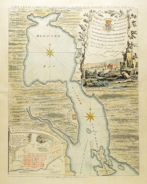
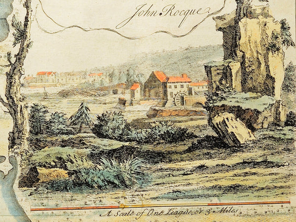
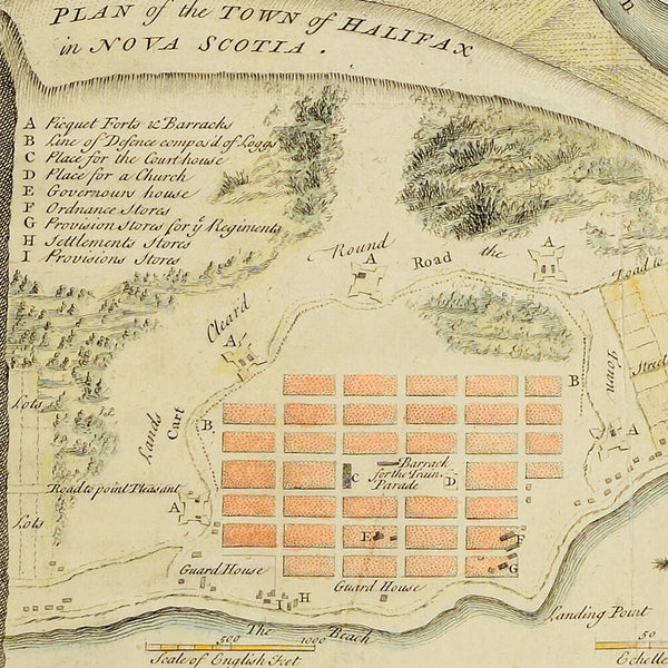
A beautiful, early map of Halifax, Nova Scotia from 1750, drawn, engraved and published by John (Jean) Rocque. Rocque, who was a prominent 18th-century London cartographer of French Huguenot descent, became world-famous for his colossal and highly detailed 1746 Map of London. His Halifax map is equally impressive, if not in size, at least in craftsmanship. This beautifully engraved and masterfully hand-colored map contains the coastlines of Bedford Bay and Chebucto (Chibucto) Harbour, an inset plan of Halifax with a key to locations, and a vignetted cartouche, nested in a charming, bucolic view of the town. The inscription in the cartouche is a dedication to George Montagu-Dunk, 2nd Earl of Halifax.
Main Title: Carte du Havre de Chibucto avec le Plan de la Ville de Halifax sur la Coste de L’Accadia ou Nova Scotia Latitude 44° 31ʹ
Inscription: To the Rt. Honble. the Earl of Halifax, First Lord Commissioner of Trade & Plantations, &c. &c. This Chart of Chibucto Harbour, on the Coast of Accadia, or Nova Scotia, With the Plan of the Town of Halifax; Is most humbly inscrib’d by his Lordship’s most Obedient Servant, John Rocque
Plan Title: Plan of the Town of Halifax in Nova Scotia
• Halifax, Nova Scotia (Acadia), 1750, beautiful, early map by John Rocque
• Fine Art Premium Giclée (Gouttelette) Print (100% cotton 340 gsm fine art paper)
• Made in USA


