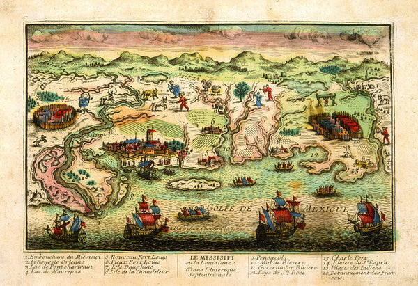
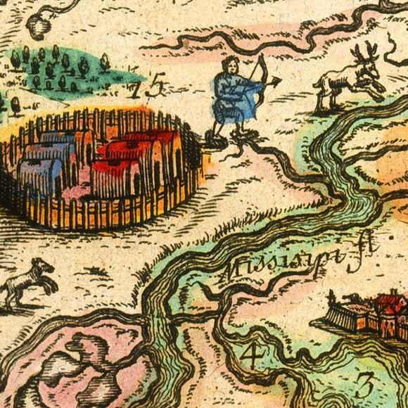
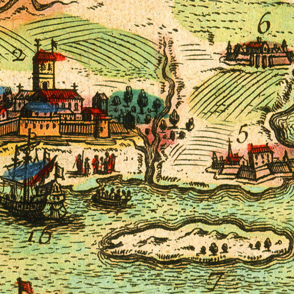
A late 17th-century view/map of the Gulf Coast of North America, spanning approximately from modern-day Baton Rouge, Louisiana, to the West, to present-day Tallahassee, Florida in the East. At the time the area was a part of New France. The map contains illustrations of important locations, numbered, keyed and indexed in the lower margin. The foreground is covered with multiple French ships. One of them in anchored across from New Orleans and described as number 16: “Landing of the French”. Native American settlements and hunting scenes occupy a large part of the background. The gravure contains an inscription: “a Paris chez Chereau le jeune”, which points to Francois II Chereau (Francois I Chereau’s son) as the author, printer, or seller, and dates the print to post late 1730s. However, the National Library of France (Bibliothèque nationale de France), suggests that the original plate was probably produced by the Bonnart brothers and particularly to Nicolas Bonnart in the 1690s. Aside from the authorship, this interesting pictorial bird’s-eye view is a great representation of the French notion of the Gulf Coast in that period. Map title: Le Missisipi ou la Louisiane Dans l’Amerique Septenrionale
• Old French view of the Gulf Coast of Louisiana, Mississippi, Alabama and Florida
• Fine Art Premium Giclée (Gouttelette) Print (100% cotton 340 gsm fine art paper)
• Made in USA


