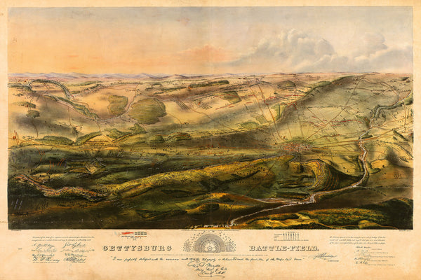
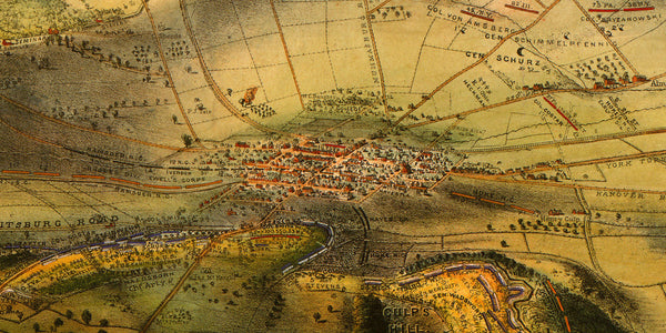
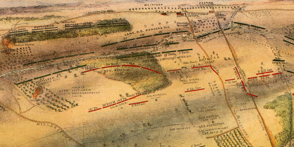
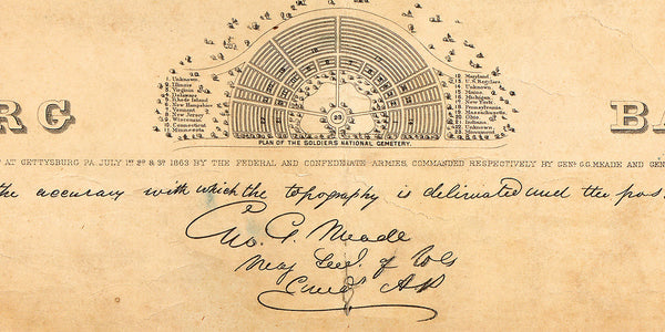
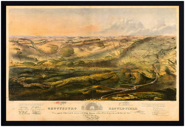
A beautiful bird’s-eye view map of the Battle of Gettysburg, drawn by John B. Bachelder. Bachelder was a man of many talents: lithographer, painter, photographer, but he was best known as a historian. When the Civil War started he traveled with the Army of Potomac to document the war. To create his map of Gettysburg, he interviewed commanders and soldiers in the hospitals and winter camp after the battle in order to get the position of the units correctly. He rode the battlefield to accurately depict the terrain and vegetation. He would later write a guidebook about the battle and organize reunions for the veterans. He served as the Superintendent of Tablets and Legends for the Gettysburg Battlefield Memorial Association. (Shown frame is not included.)
• Bird’s-eye view map of the Gettysburg Battlefield by John B. Bachelder, 1863, title: Gettysburg Battle-field
• Fine Art Premium Giclée (Gouttelette) Print (100% cotton 340 gsm fine art paper)
• Made in USA

