Home
Gallery
−
American History
−
Colonial Period
Revolutionary War
Westward Expansion
Civil War
WWI
WWII
World
+
World Maps
Africa
America
+
Caribbean & Central America
North America
South America
The Americas
Asia
Europe
Oceania
Cities
+
New York
London
Paris
Jerusalem + Holy Land
Bird’s-Eye Views
Sets of Cities
Pictorial Maps
Wall Art Sets
+
Framed Sets
Unframed Sets
Blog
About
Contact
Gift Certificates
←
American History
Share this:
Tweet
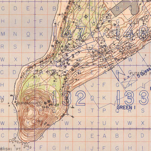
Iwo Jima, 1944-45, USMC, WWII Map
→
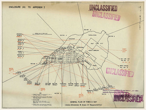
Iwo Jima, 1945, Naval Artillery Plan of Fire, WWII Map
→
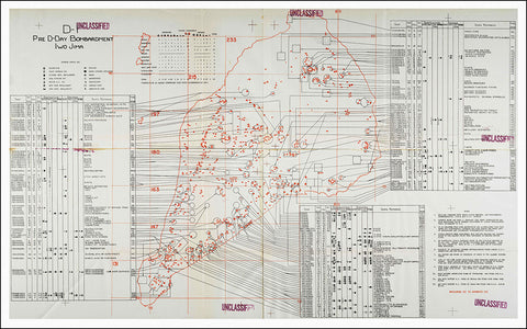
Iwo Jima, 1945, Naval Gunnery Plan, WWII Map
→
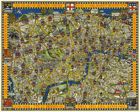
London, 1914, Wonderground Map, MacDonald Gill
from
→
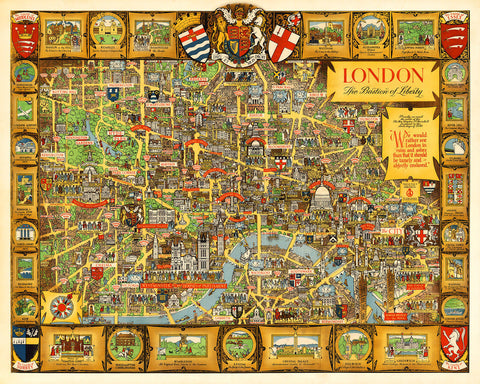
London, Bastion of Liberty, Vintage Pictorial Map
→
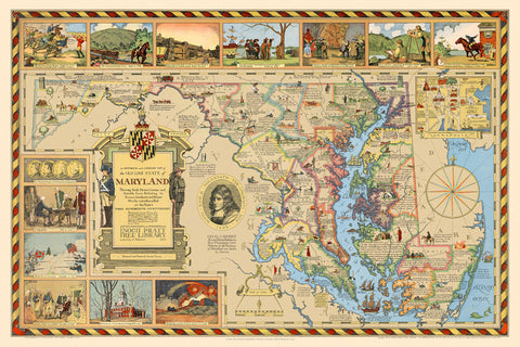
Maryland, 1631–1931, Pictorial Historical & Literary Map
from
→
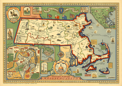
Massachusetts, 1630–1930, Pictorial Historical Map
→
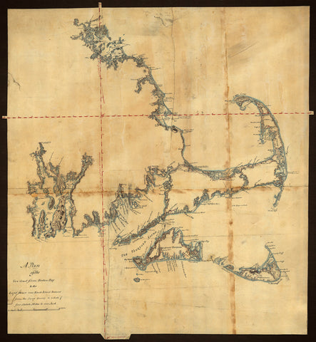
Massachusetts, 1775, Cape Cod, Nantucket, Martha’s Vineyard, Manuscript Map
→
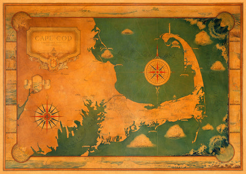
Massachusetts, 1927, Cape Cod, Decorative Pictorial Map
→
Milwaukee, 1898, Panoramic Bird’s Eye View, Framed
→
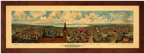
Milwaukee, 1898, Panoramic View
→
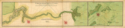
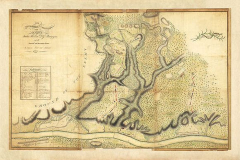
Mississippi River Delta, 1732, New Orleans, Old French Map
from
→
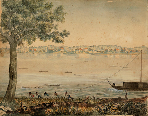
Missouri, 1824, St. Charles, Mo., Missouri River, Watercolor View
→
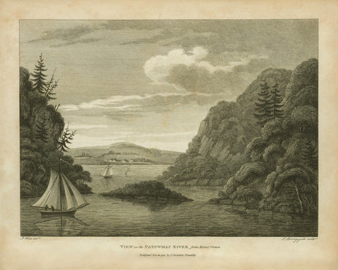
Mount Vernon, 1798, View on the Potomac River
→
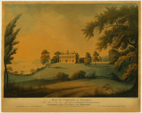
Mount Vernon, 1800, Estate View, George Washington
→
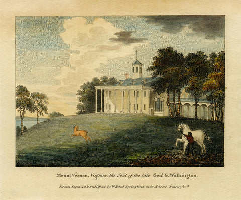
Mount Vernon, 1808, Estate View, George Washington, Color Engraving
→
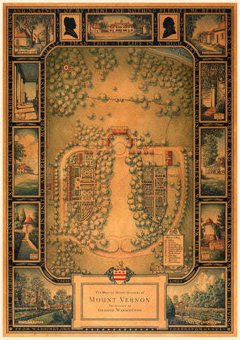
Mount Vernon, 1932, Estate Plan, George Washington
→
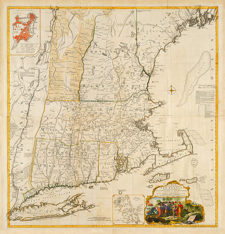
New England, 1755, Mayflower, Pilgrims, Plymouth Rock, Map
→
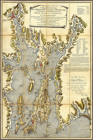
New England, 1777, Narragansett Bay, Rhode Island, Gaspée Affair, Revolutionary Era Map
→
New Jersey, 1675, A Mapp of New Jarsey by John Seller
from
→
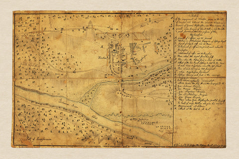
New Jersey, 1776, Battle of Trenton, Hessian Sketch, Revolutionary War Map
from
→
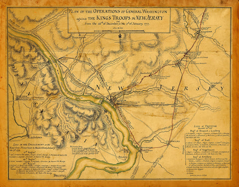
New Jersey, 1777, Battles of Trenton, Princeton, 1776-77, Revolutionary War Map (I)
→
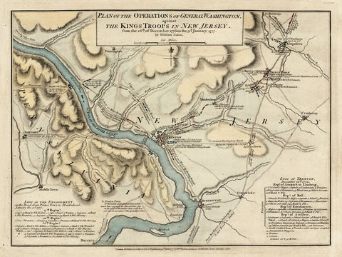
New Jersey, 1777, Battles of Trenton, Princeton, 1776-77, Revolutionary War Map (II)
from
→
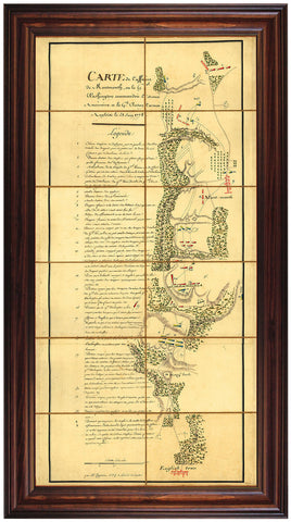
New Jersey, 1778, Battle of Monmouth, Chesnoy, Revolutionary War Map
→
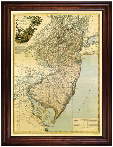
New Jersey, 1778, Bernard Ratzer, Revolutionary Era Map
from
→
New Jersey, 1778, Bernard Ratzer, Revolutionary Era Map, Framed
→
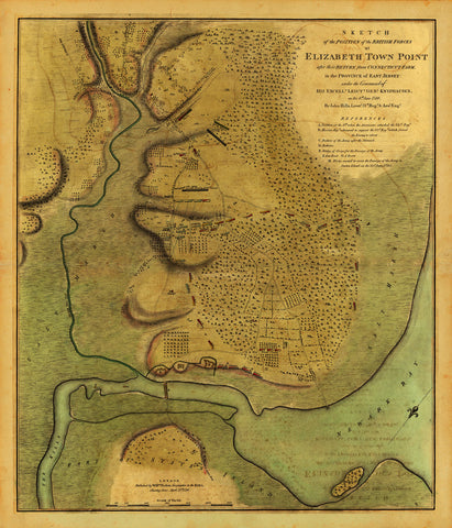
New Jersey, 1780, Elizabeth Town Point, Revolutionary War Map (I)
→
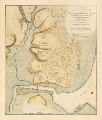
New Jersey, 1780, Elizabeth Town Point, Revolutionary War Map (II)
→
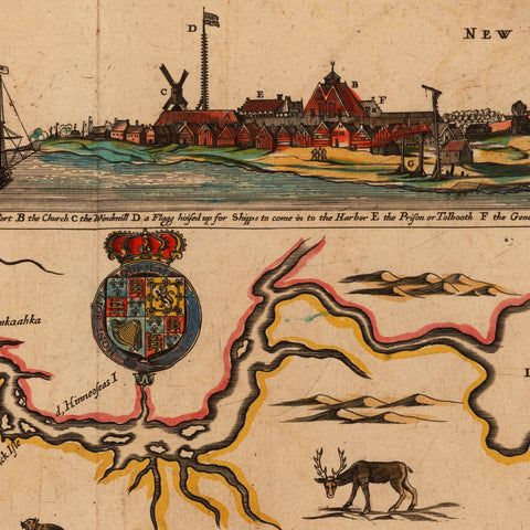
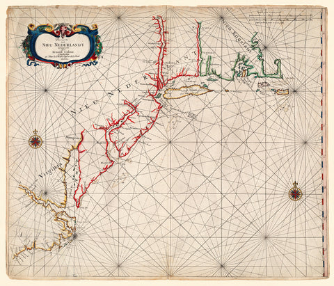
New Netherland, 1656, Nieu Nederlandt, Colom, Sea Chart
→
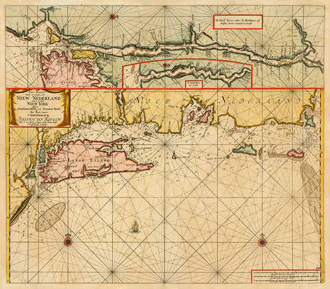
New Netherland, 1682, New York, Keulen Chart
→
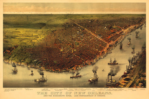
New Orleans, 1885, Bird’s Eye View
from
→
New York 1777 Saratoga
from
→
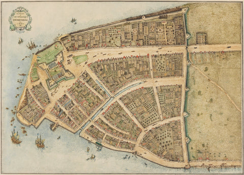
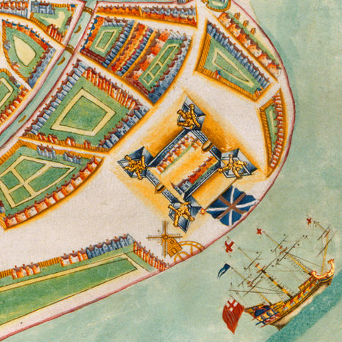
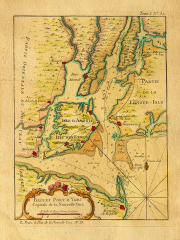
New York, 1660, Castello Plan, New Amsterdam
from
→
New York, 1664 (1661), Mannados, New Amsterdam, The Duke’s Plan
from
→
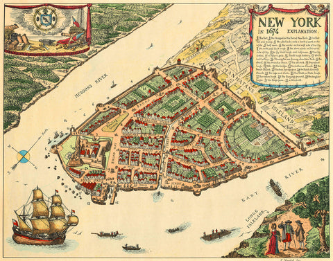
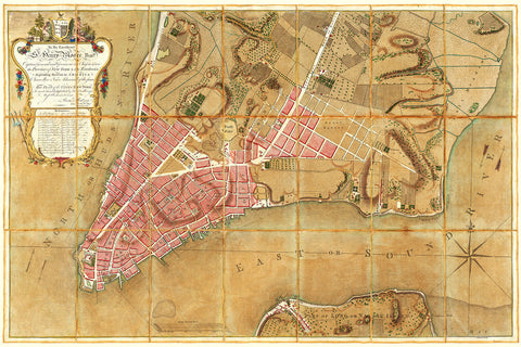
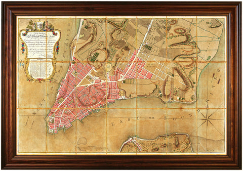
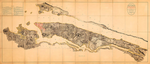
New York, 1674, Lower Manhattan, Vintage Map
from
→
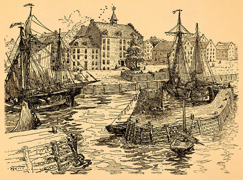
New York, 1679, City Hall & Docks, Ink Drawing, Art Print
from
→
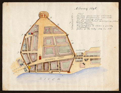
New York, 1695, Albany, Fort, John Miller, James Eights, Manuscript Plan
→
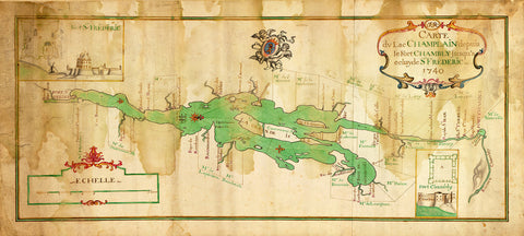
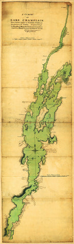
New York, 1740, Lake Champlain, French & Indian War Map
$90
→
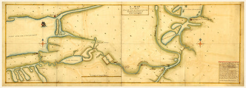
New York, 1750, Mohawk Valley, Lake Ontario, Lake Champlain, Manuscript Map
from
→
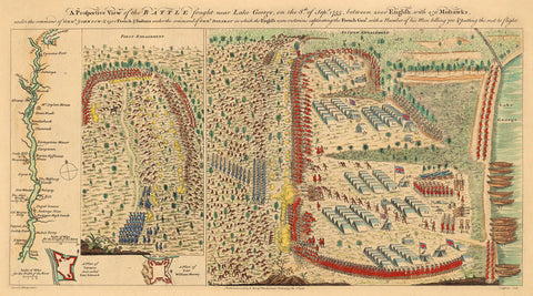
New York, 1755, Battle of Lake George, French & Indian War (I)
from
→
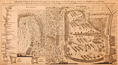
New York, 1755, Battle of Lake George, French & Indian War (II)
from
→
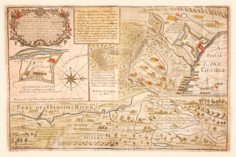
New York, 1756, Battle of Lake George Map, French & Indian War
from
→
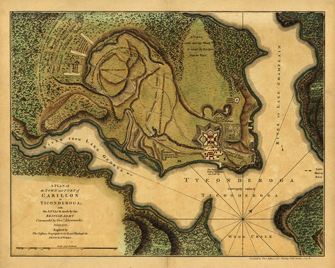
New York, 1758, Ticonderoga, Fort Carillon, French & Indian War Map
from
→
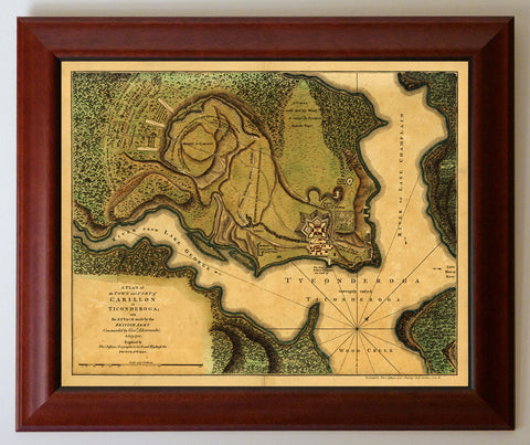
New York, 1758, Ticonderoga, Fort Carillon, French & Indian War, Framed Map
→
New York, 1762, Lake Champlain, French & Indian War Map
→
New York, 1764, French & Indian War Era, Bellin Map
→
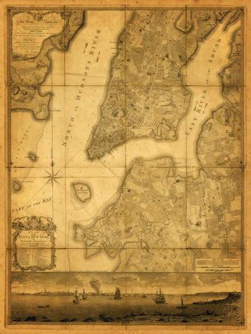
New York, 1767, Ratzer Plan, Antique Map
→
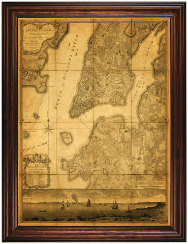
New York, 1767, Ratzer Plan, Antique Map, Framed
→
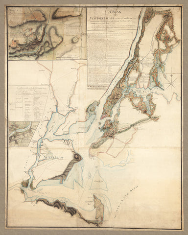
New York, 1776, 1777, Campaign Headquarters, Blaskowitz, Revolutionary War Map
→
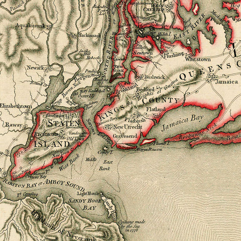
New York, 1776, Battle of Long Island, Capture of New York, Revolutionary War Map
→
New York, 1776, Battle of Long Island, Revolutionary War Map
from
→
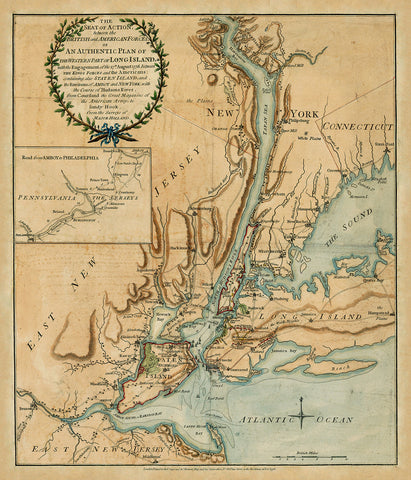
New York, 1776, Battles of White Plains, Long Island, Revolutionary War Map
→
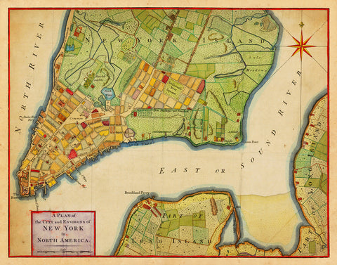
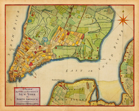
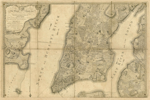
New York, 1776, City Plan, Revolutionary Era Map
→
New York, 1776, City Plan, Revolutionary Era Map (II)
from
→
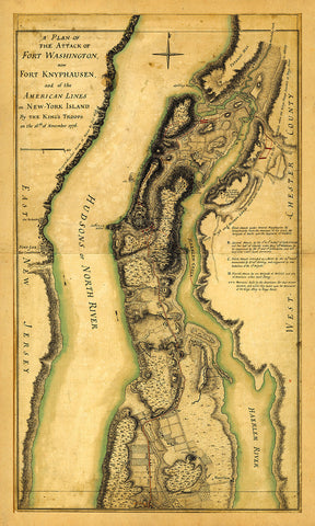
New York, 1776, Fort Washington, Revolutionary War Map
→
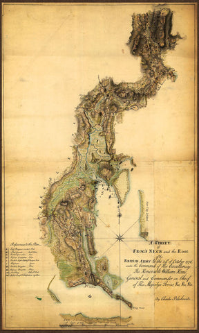
New York, 1776, Frog’s Neck, (Throggs Neck), Bronx, Revolutionary War Map
→
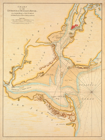
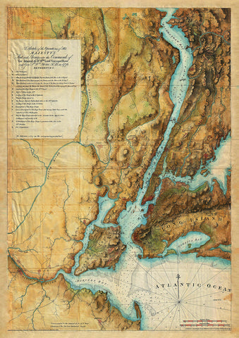
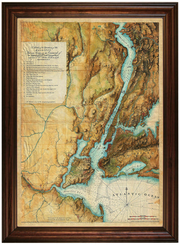
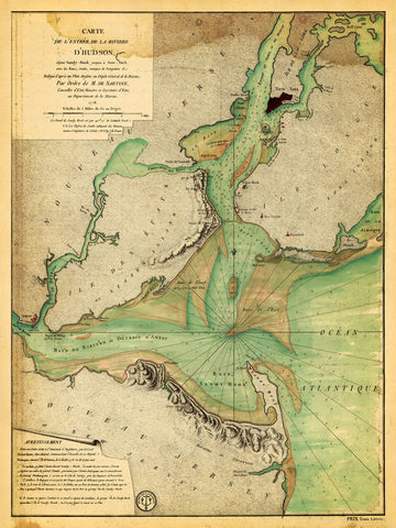
New York, 1776, Hudson River, Sandy Hook, New Jersey, Revolutionary Era Map
from
→
New York, 1776, Lake Champlain, Battle of Valcour Island Plan
→
New York, 1776, Lake Champlain, Battle of Valcour Island, Framed
→
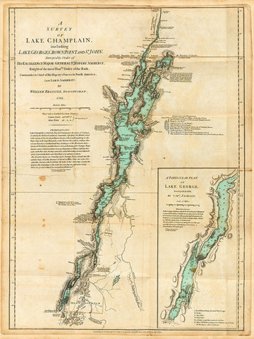
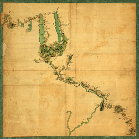
New York, 1776, Lake Champlain, Lake George, Valcour Island, Revolutionary War Map
from
→
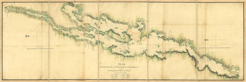
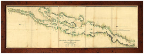
New York, 1776, Lake Champlain-Hudson River Corridor
→
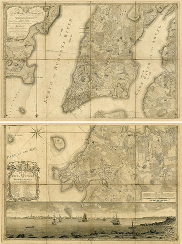
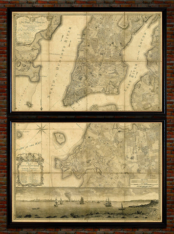
New York, 1776, Manhattan & Brooklyn Antique Map Set
→
New York, 1776, Manhattan & Brooklyn, Ratzer, Framed Set
$395
→
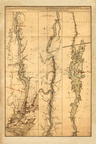
New York, 1776, Province of New York, Mohawk Valley, Hudson Valley, Old Map
from
→
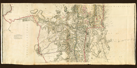
New York, 1776, Province of New York, Northern Section
from
→
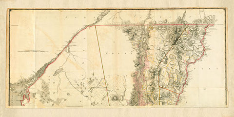
New York, 1776, Province of New York, Southern Section
from
→
New York, 1776, Ratzer Plan (I), Antique Map
→
New York, 1776, Ratzer Plan (I), Antique Map, Framed
→
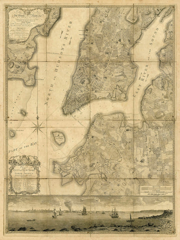
New York, 1776, Ratzer Plan (II), Antique Map
→
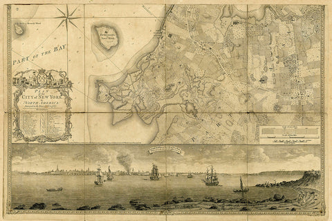
New York, 1776, Ratzer Plan (II), Brooklyn, Old Map
→
New York, 1776, Ratzer Plan (II), Manhattan, Old Map
→
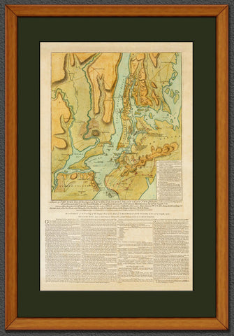
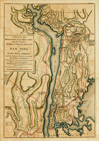
New York, 1777, British Army, Fleet, 1776-77, Revolutionary War Map
→
New York, 1777, British Army, Fleet, Howe, 1776-77, Des Barres, Framed Revolutionary War Map
→
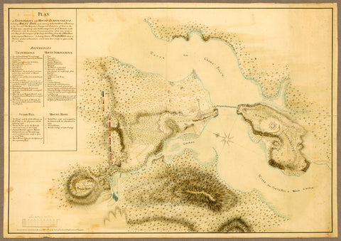
New York, 1777, Ticonderoga, Mount Independence, Mount Hope, Revolutionary War Plan
→
New York, 1778, Hudson River, Sandy Hook, New Jersey, Revolutionary Era Map
→
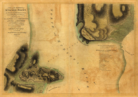
New York, 1779, Battle of Stony Point, Revolutionary War Map
→
New York, 1779, Finger Lakes, Sullivan Expedition, Iroquois Confederacy, Old Map
→
New York, 1782, GB War Office HQ Revolutionary War Map
→
New York, 1821, Manhattan & Philadelphia, Antique Map
→
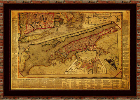
New York, 1836, Colton, Topographical Map
→
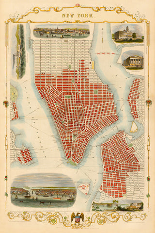
New York, 1851, John Tallis, 19th-Century City Plan
→
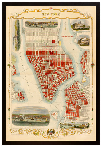
New York, 1851, Manhattan, City Plan by John Tallis, Framed
→
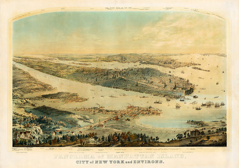
New York, 1854, Manhattan, Panoramaic View
→
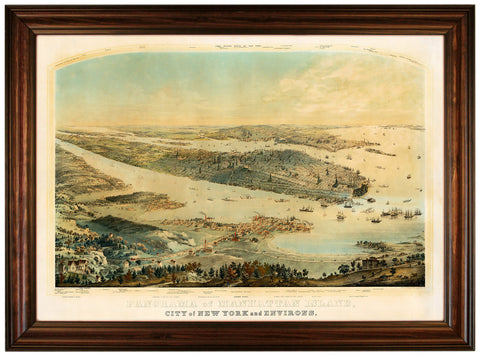
New York, 1854, Manhattan, Panoramaic View, Framed
→
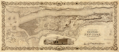
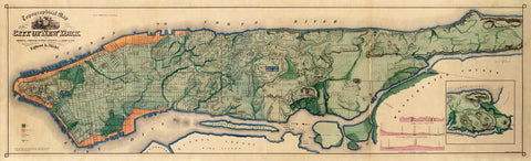
New York, 1865, Topographical, Sanitary Map, Egbert Viele (I)
from
→
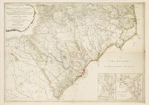
North & South Carolina, 1775, Henry Mouzon Map
→
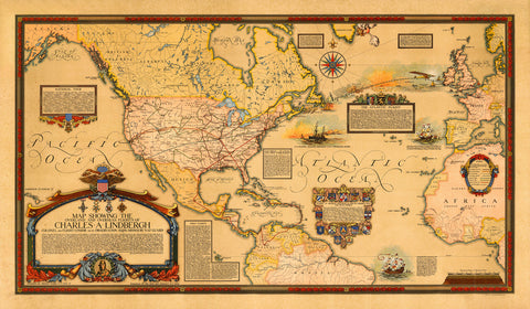
North America & Atlantic, 1928, Charles Lindbergh’s Flights, Commemorative Map
→
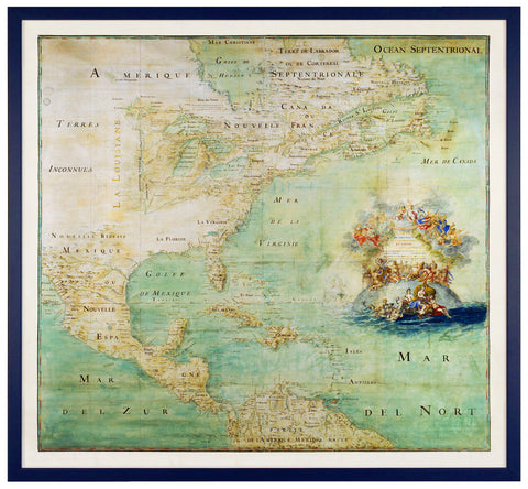
North America, 1681, Carte de l'Amérique, Abbé Claude Bernou
→
North America, 1681, l’Amérique Septentrionale, Claude Bernou, Framed Map
→
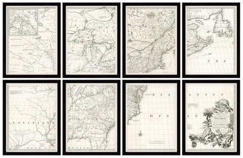
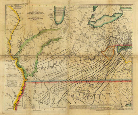
North America, 1755, Mitchell Map, 8-Sheet Large Wall Map
→
North America, 1772, Caribbean, European Claims, American Revolutionary Era Map
→
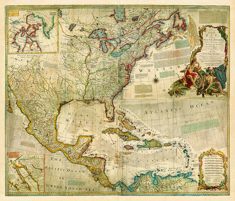
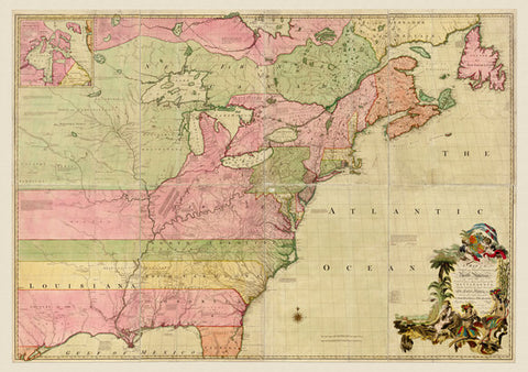
North America, British and French Dominions, 1755
→
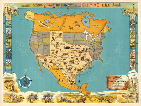
North America, Texas Brags, Humorous Vintage Pictorial Map
from
→
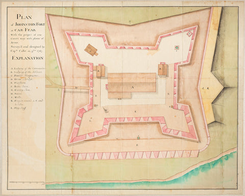
North Carolina, 1767, Plan of Fort Johnston, John Collet
→
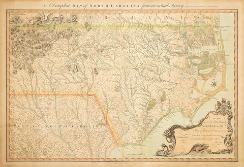
North Carolina, 1770, A Compleat Map, John Collet
→
North Carolina, 1778, Cape Fear River and Brunswick Town
→
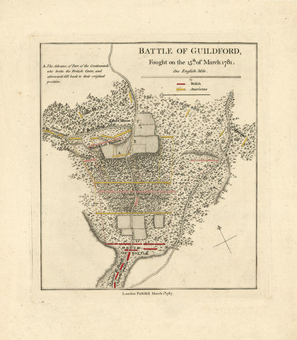
North Carolina, 1781, Guilford, Battle, Revolutionary War Map (I)
→
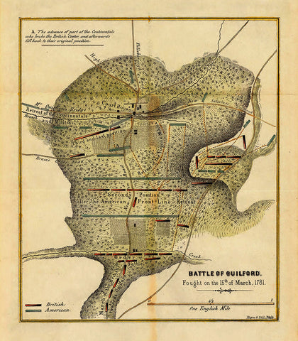
North Carolina, 1781, Guilford, Battle, Revolutionary War Map (II)
→
Northwest Territory 1778
from
→
Previous page
1
2
3
Next page
top