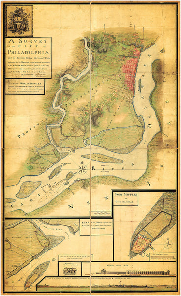
Philadelphia, 1777, Fort Mifflin, Mud Island Attacks, Delaware River, Revolutionary War Map
Brand: Battlemaps.us
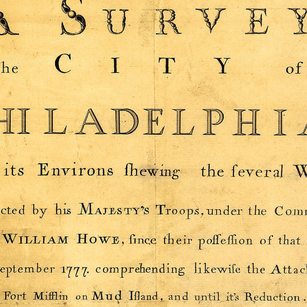
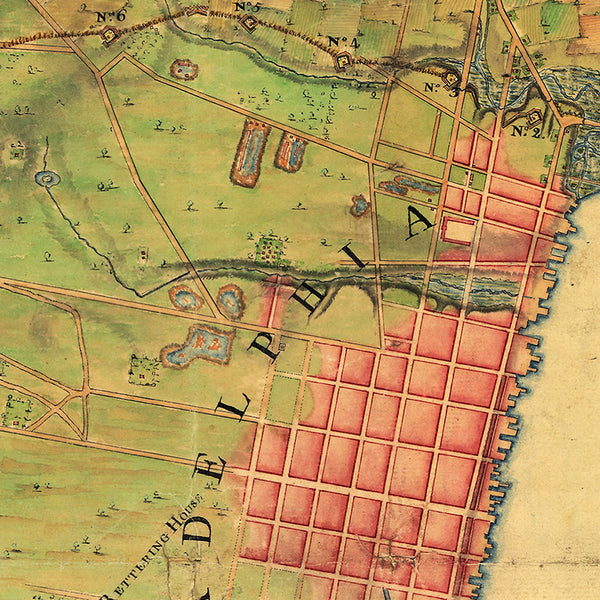
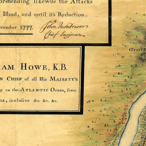
A map of Philadelphia from 1777, showing the attacks on Fort Mifflin, Mud Island, during the American Revolutionary War. The map is attributed to the famed British military engineer and mapmaker John Montresor. The title reads: A Survey of the city of Philadelphia and its Environs showing the several Works constructed by His Majesty’s Troops, under the command of Sir William Howe, since their possession of that City 26th September 1777, comprehending likewise the Attacks against Fort Mifflin on Mud Island, and until its Reduction, 16th November 1777, (signed) John Montresor, Chief Engineer.
• Revolutionary War map of Philadelphia from 1777, showing the attacks on Fort Mifflin and Mud Island
• Fine Art Premium Giclée (Gouttelette) Print (100% cotton 340 gsm fine art paper)
• Made in USA


