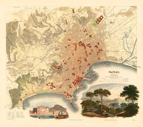
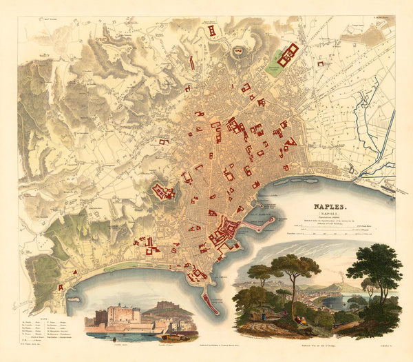
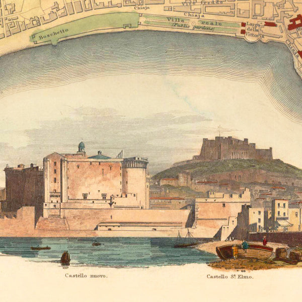
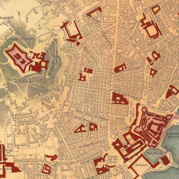
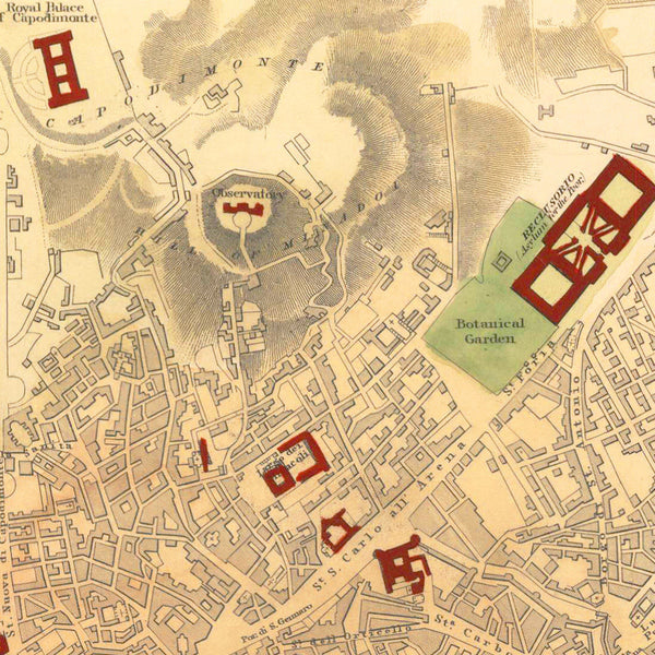
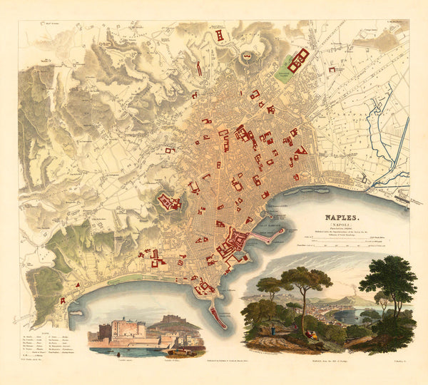
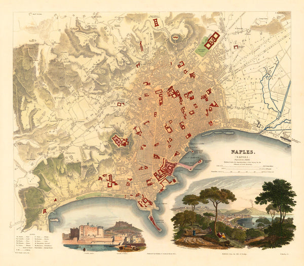
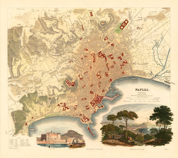
An attractive 19th-century city plan of Naples, Italy, with a beautiful vignetted view of Naples from Posillipo with Mount Vesuvius in the distance, and a harbor view of Castel Nuovo with Castel Sant'Elmo in the background. The original map was published in 1835 by the Society for the Diffusion of Useful Knowledge (SDUK), as a steel-plate engraving print, hand-colored in full — both in outline and wash. The lower left corner contains a compact table of explanatory notes. The whole map is richly inscribed throughout with location names. The Naples map pairs well with some other SDUK city plans in our collection — Bordeaux, Liverpool, Munich, Venice.
• Beautiful 19th-century map of Naples (Napoli) with views, published in 1835 by SDUK (S.D.U.K.)
• Fine Art Premium Giclée (Gouttelette) Print (100% cotton 340 gsm fine art paper)
• Made in USA

