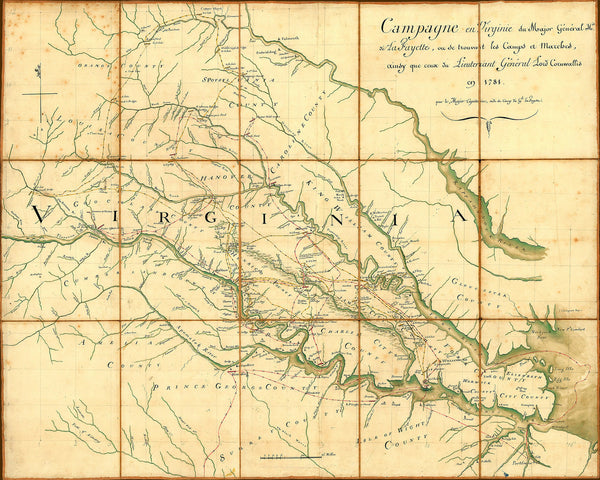
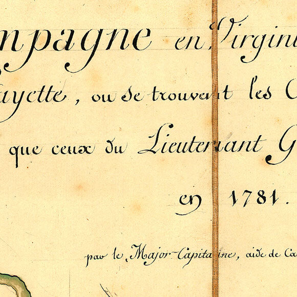
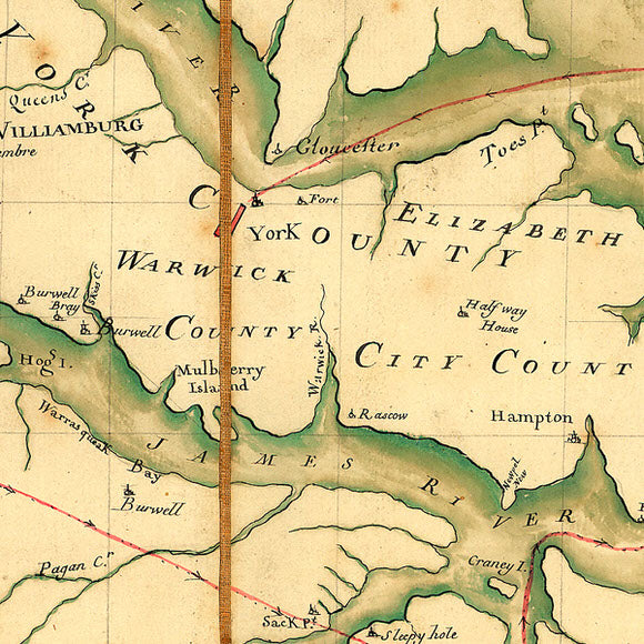
American War of Independence map, hand drawn by Captain Michel Capitaine du Chesnoy, a trained geographical engineer and one of Lafayette’s three aides, who was commissioned as Captain in the Corps of Engineers. This large and detailed map of Virginia shows all of Lafayette’s military skirmishes in Tidewater and Piedmont, Virginia while waiting for the arrival of the French troops under Rochambeau and the Americans led by General Washington. At the end, Washington and Lafayette, aided by the French Expeditionary troops and the timely arrival of the French navy, backed Cornwallis into capitulation.
• Map of Lafayette’s Campaign in Virginia, Yorktown Region, 1781, Michel Capitaine du Chesnoy
• Title: Movements of the Forces of Lafayette and Cornwallis in Virginia
• Fine Art Premium Giclée (Gouttelette) Print (100% cotton 340 gsm fine art paper)
• Made in USA


