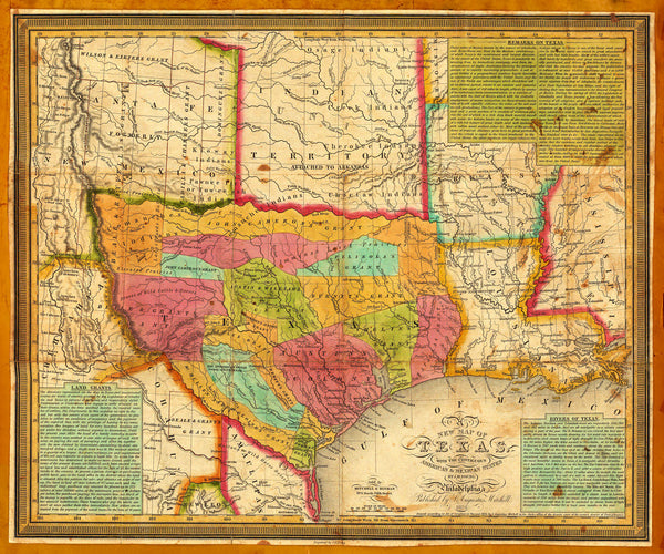
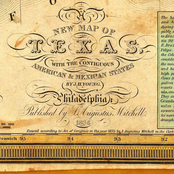
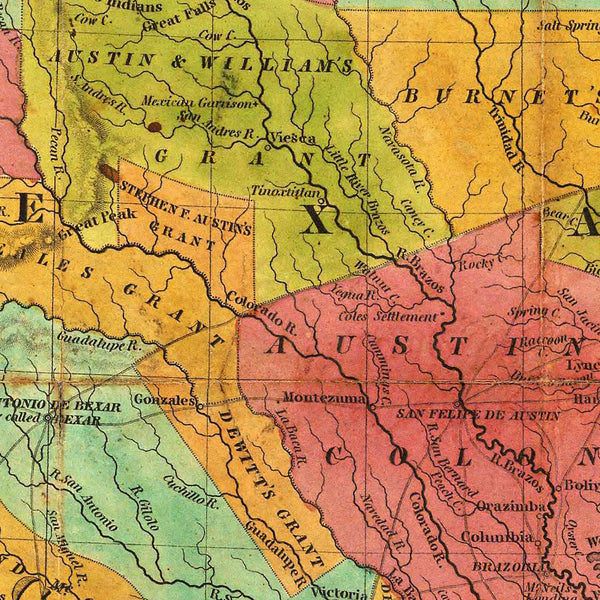
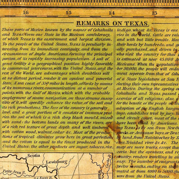
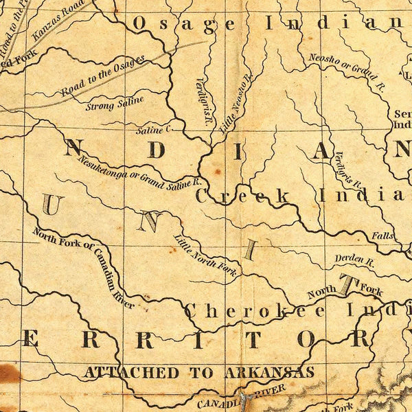
A very important early map of Texas, published in 1836, the year the Republic of Texas gained independence from Mexico. The map contains a very detailed depiction of all empresario land grants, all separated in bright colors. The map features three insets with “Remarks on Texas”, “Land Grants” and “Rivers of Texas”. It was engraved by J. H. (James Hamilton) Young and first published by S. (Samuel) Augustus Mitchell in 1835, with the current edition issued in 1836. Map title: “A New Map Of Texas, with the Contiguous American & Mexican States”.
• Texas, 1836 map, Young & Mitchell, Lone Star Republic, Independence, Texas Revolution
• Fine Art Premium Giclée (Gouttelette) Print (100% cotton 340 gsm fine art paper)
• Made in USA

