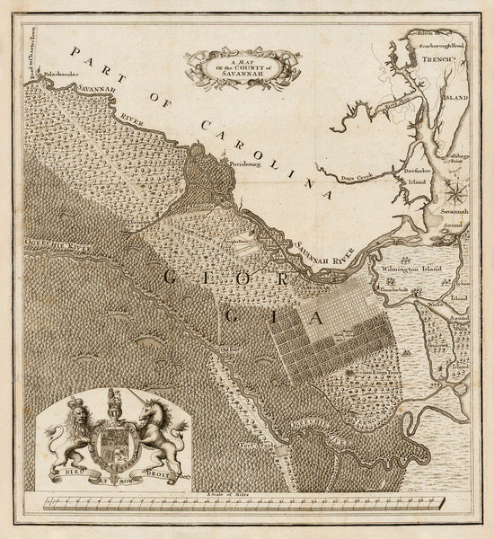
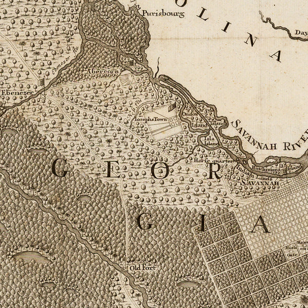
A very early map of Savannah, Georgia, with surrounding areas, from 1740. Savannah and the colony of Georgia were founded in 1733 by James Oglethorpe, leading a group of English settlers into the New World. Less than a year later, a group of 150 persecuted Salzburg Protestants arrived, led by Samuel Urlsperger, and settled at Ebenezer. The map covers Savannah River to the Tybee Roads, and the coast from Trench’s Island (Hilton Head) to the North, through Dawfoskee (Daufuskie) Island, and Wilmington and Tybee Islands, to Wassa (Wassaw) Island and Ogeechie (Ogeechee) River to the South. The map is based on a manuscript map by Oglethorpe sent to London in 1735. It bears the Royal Arms of King George II of Great Britain in its bottom left corner.
• Title: A Map of the County of Savannah, ca. 1740, Samuel Urlsperger / James Oglethorpe
• Fine Art Premium Giclée (Gouttelette) Print (100% cotton 340 gsm textured fine art paper)
• Made in USA


