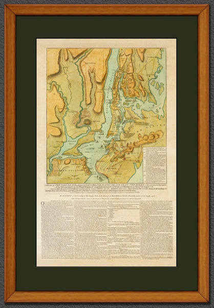
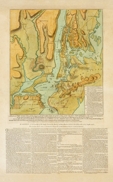
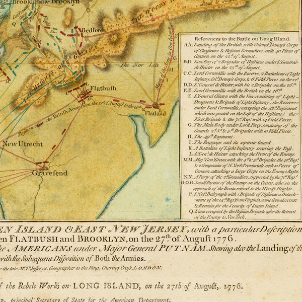
New York, 1776, Battle of Long Island, Capture of New York, Revolutionary War Map
Brand: Battlemaps.us
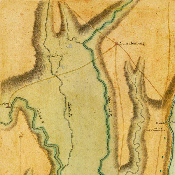
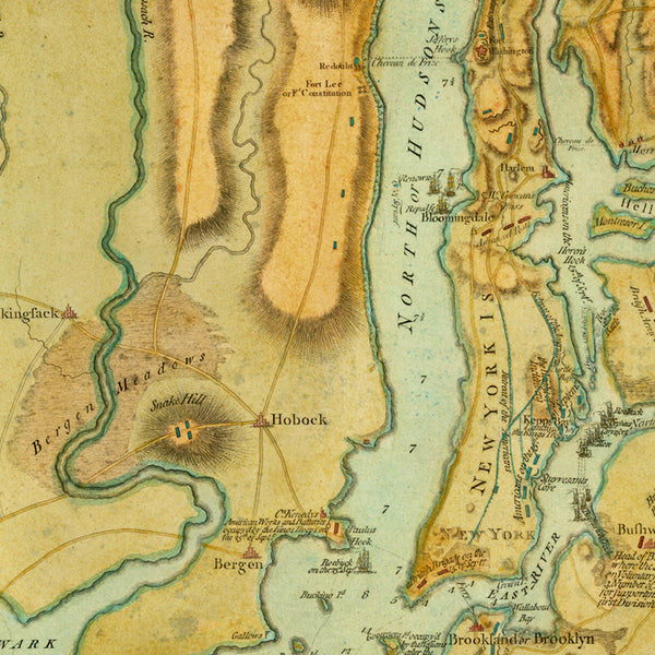
A 1776 map of the Battle of Long Island (Battle of Brooklyn Heights) fought on August 27, 1776 between the Continental Army and the British Forces, and the subsequent Capture of New York City by the British on September 15, 1776 during the American War of Independence. The map was engraved and published as a broadsheet by William Faden in London on October 19th, shortly after the British invasion of New York City. (Shown frame is not included.)
Title: A Plan of New York Island, with part of Long Island, Staten Island & East New Jersey, with a particular Description of the Engagement on the Woody Heights of Long Island, between Flatbush and Brooklyn, on the 27th of August 1776 between His Majesty’s Forces Commanded by General Howe and the Americans under Major General Putnam. Shewing also the Landing of the British Army on New-York Island, and the Taking of the City of New-York &c. on the 15th of September following, with the Subsequent Disposition of both the Armies.
• Map of the Battle of Long Island (Battle of Brooklyn), 1776, American Revolutionary War
• Fine Art Premium Giclée (Gouttelette) Print (100% cotton 340 gsm fine art paper)
• Made in USA

